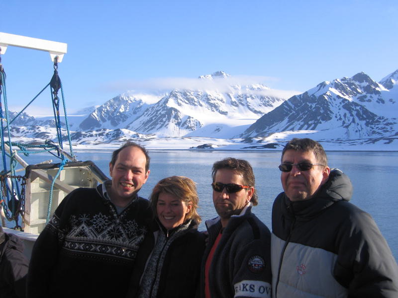
Svalbard is a group of islands far North from Norway, between about 78 and 80 degrees latitude. It is often called Spitzbergen, even though this is really only the name of the largest island. Together with four friends I spent two weeks there in June 2008. We spent one week on a ship and one week on land.
This report is also availabe in
![]()
The ship called Grigoriy Mikheev was built in the 70th by the former Sowjet Union. It served Arctic research together with its sister ship and two similar ships. Nowadays, Russia offers all four ships for charter trips.
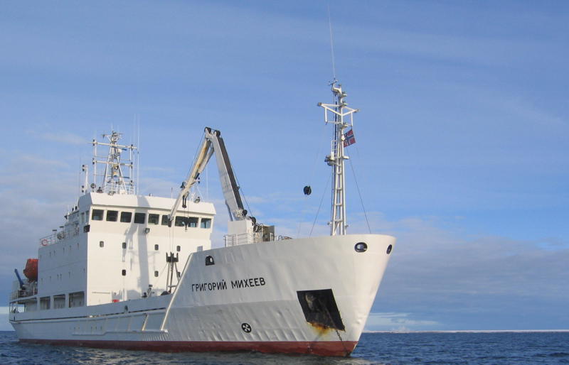
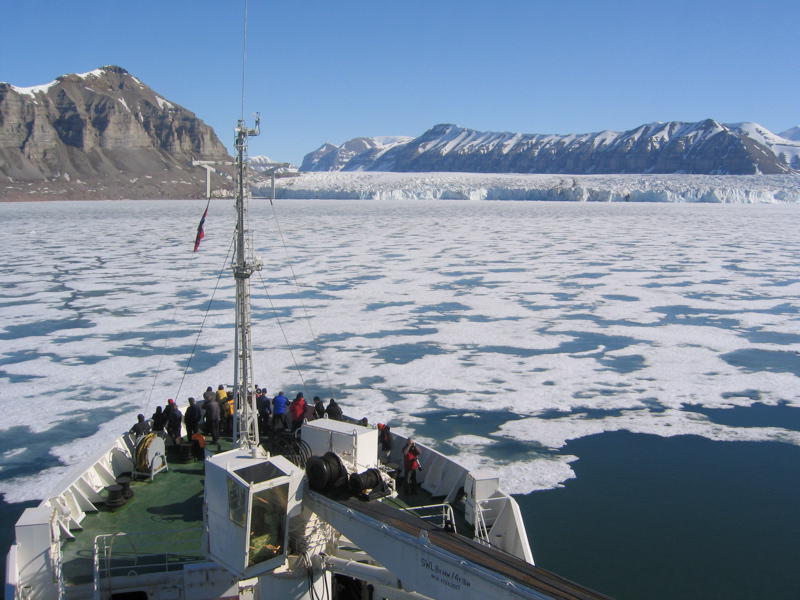
The Gregoriy Mikhef is ice-capable, but it is not an ice-breaker. As a result, it can drive through ice so long as it is possible to shift ice-floats to the side. However, if it reaches a closed ice field, then the ship has to turn around. That's what happened to us. Strong Northerly winds had pushed pack ice towards Svalbard. And as a result, we had to turn around close to 80 degrees of latitude.
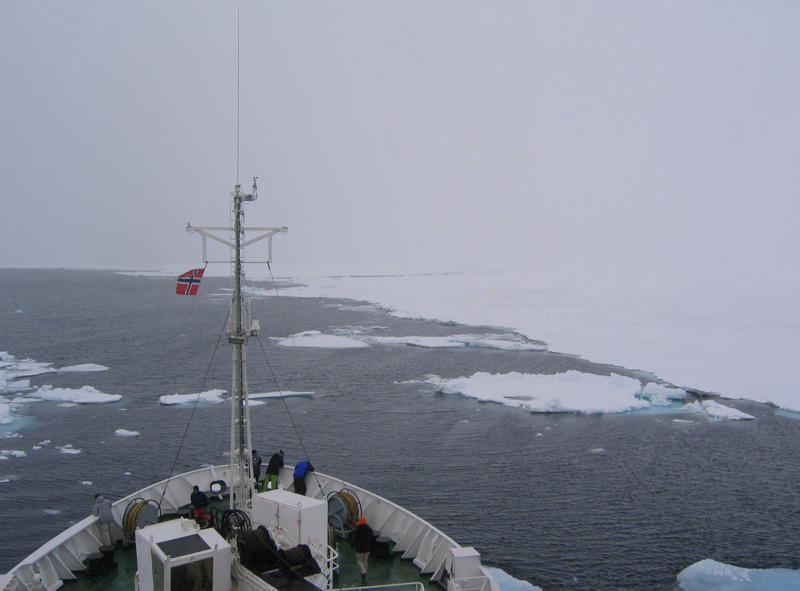
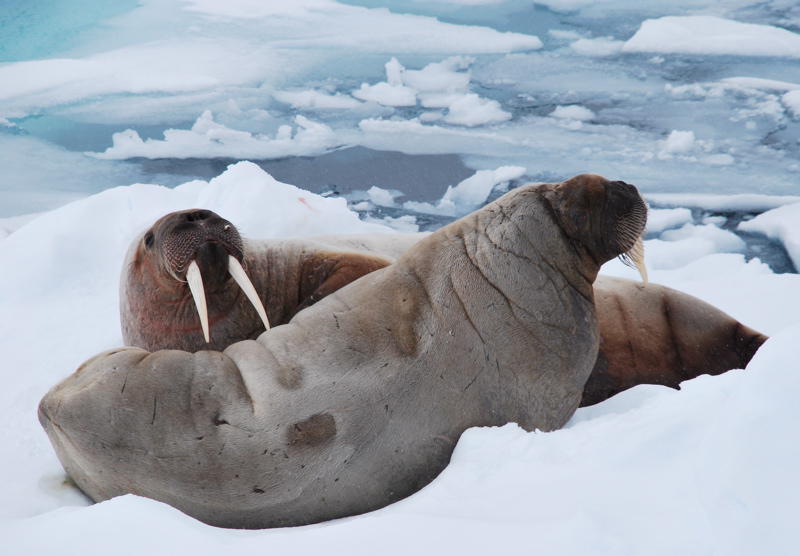
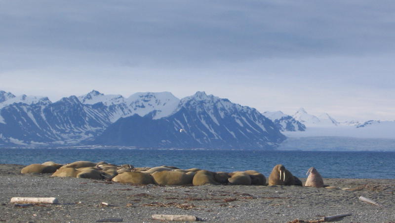
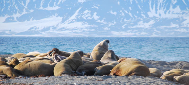
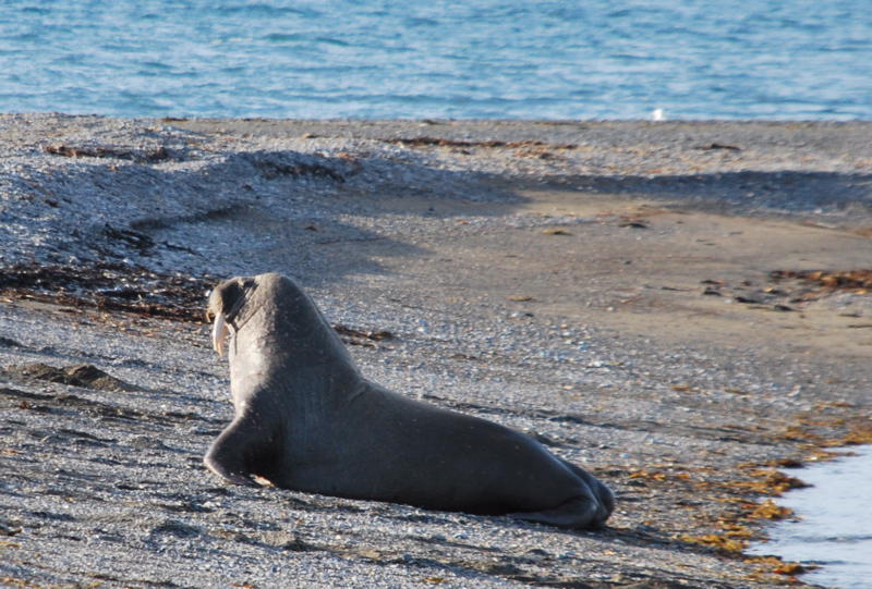
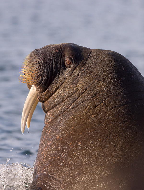
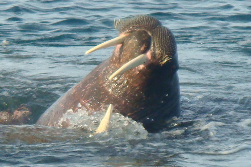
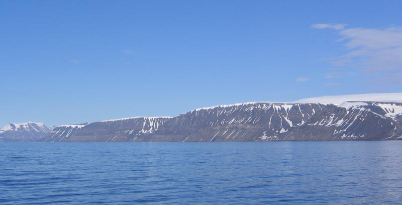
Thus, we mainly shipped along the Western coast of Svalbard. We had therefore already given up hope to see a large walrus colony - famous for that is Baffin Island, which we couldn't reach because of the pack-ice. But then our luck turned. And we saw a colony of some 60 walrus in Poolpynten on Prins Karls Forland.
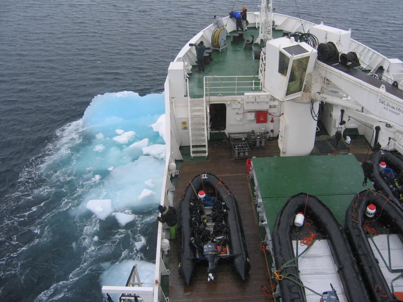
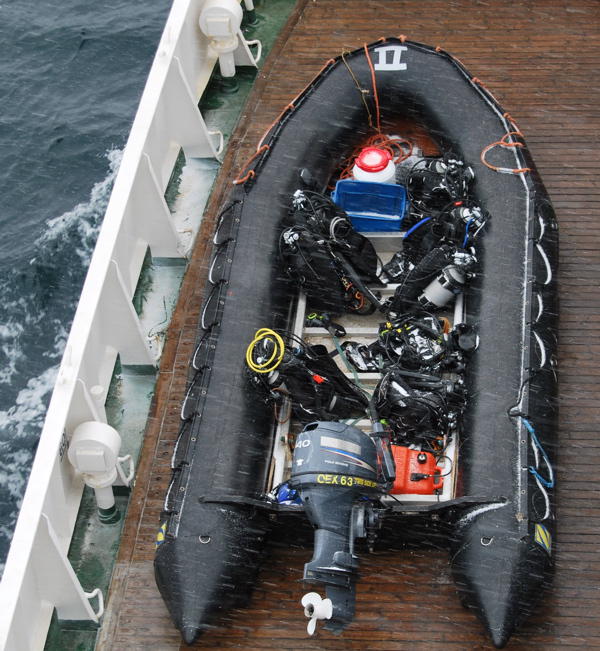
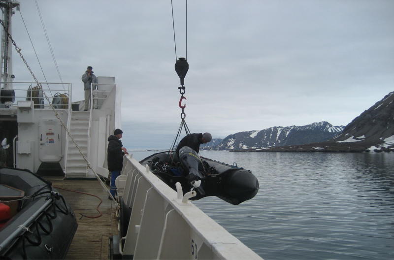
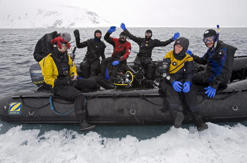
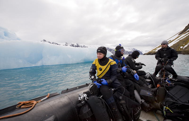
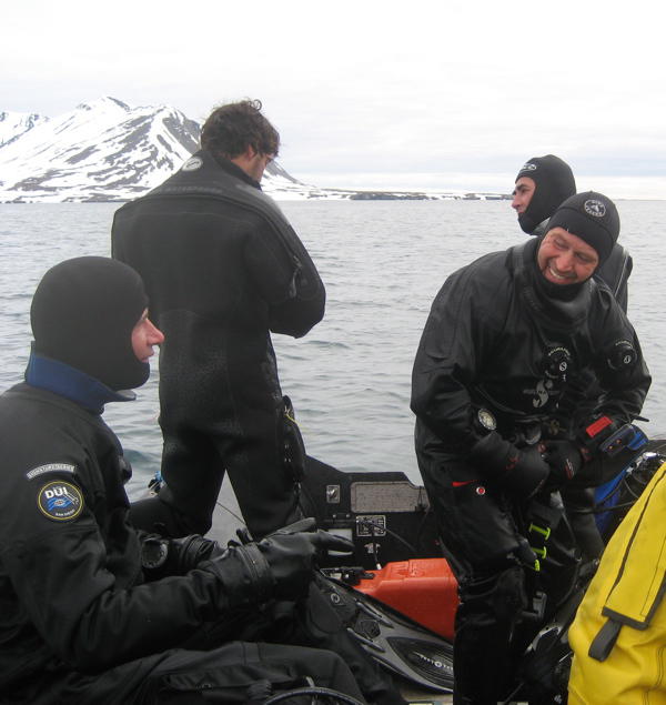
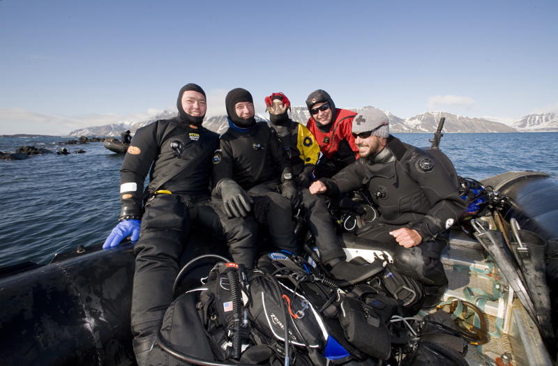
We went diving at various spots during the trip on the ship. The diving equipment was stored in the zodiac during the entire week. Only the diving suits were brought inside for drying. When we went diving, the zodiac including the diving equipment was first lifted into the water using a crane. Afterwards, we leasurely walked down the gangway and stepped into the zodiac. The hard part was putting on the diving equipment in the tight space of the zodiac while wearing dry-suits.
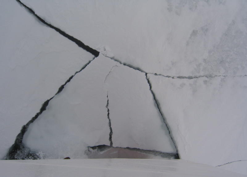
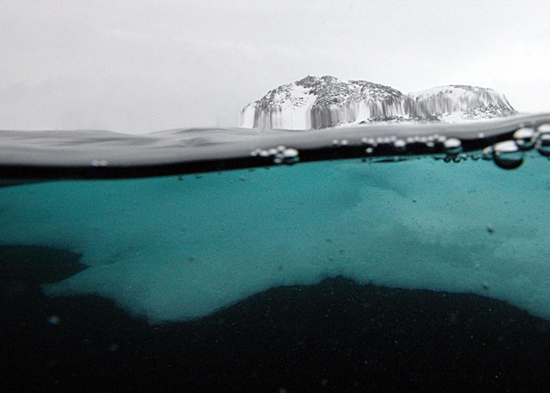
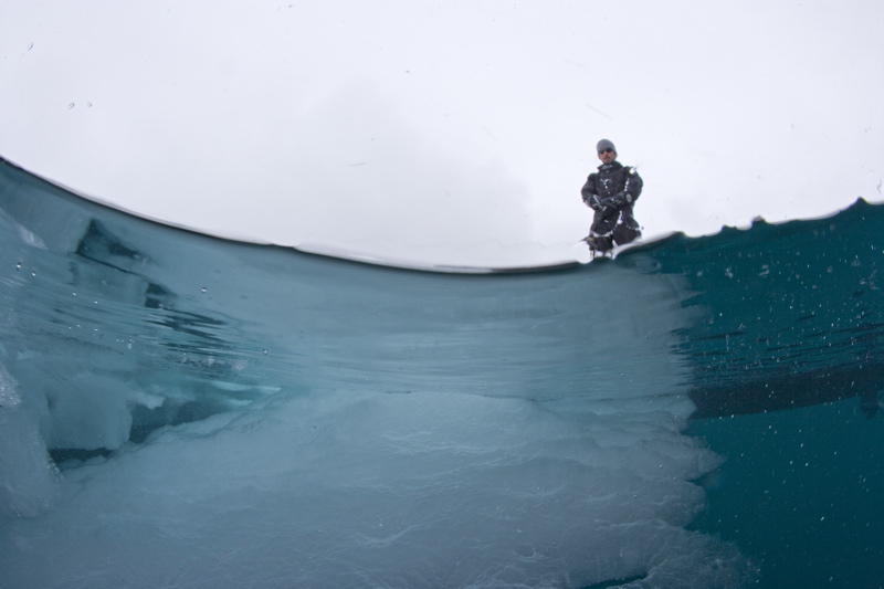
One ice-dive was included in the trip. Such ice-dives are not without their risks, as the ice-floats can shift quickly due to strong winds. An area free of ice may be completely covered by ice half an hour later.
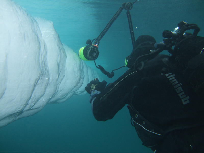
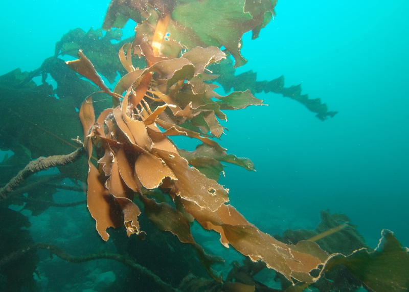
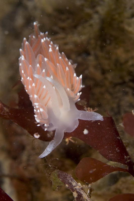
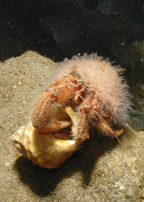
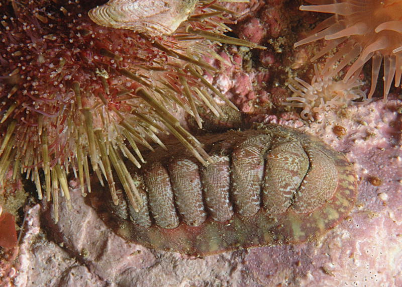
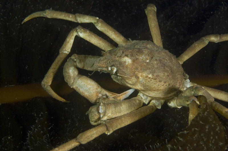
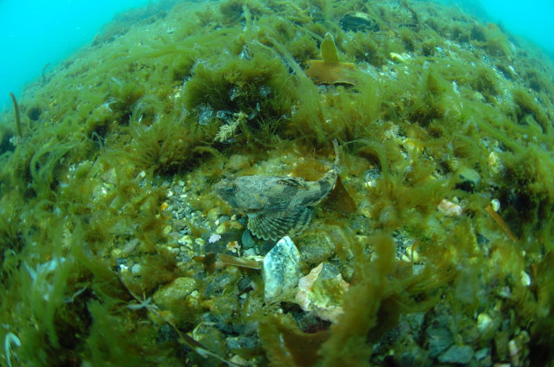
The Arctic is a region poor in nutrition. Above water it is dominated by ice and rocks. And plants and larger animals are only encountered occationally. In comparison, life underwater is abundant, but cold and poor nutrition also limits growth there. Down to a depth of 12 meters the landscape is dominated by kelp. Below that rocks dominate the landscape.
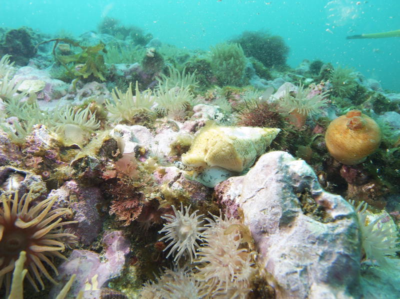
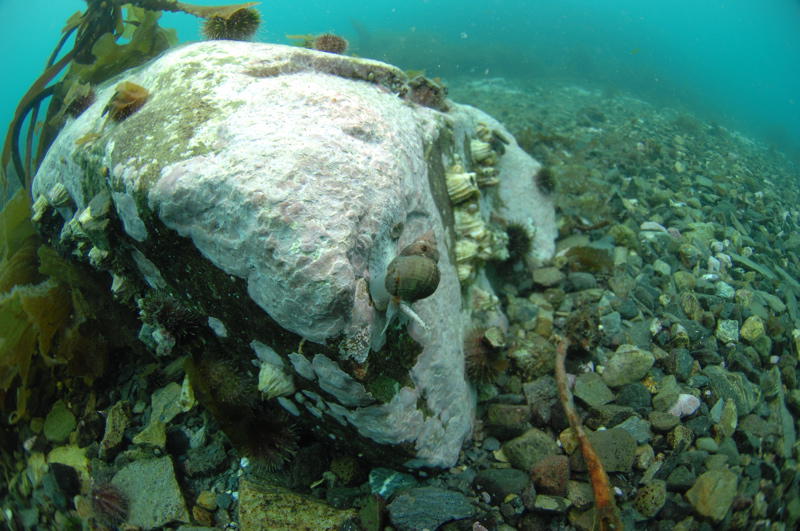
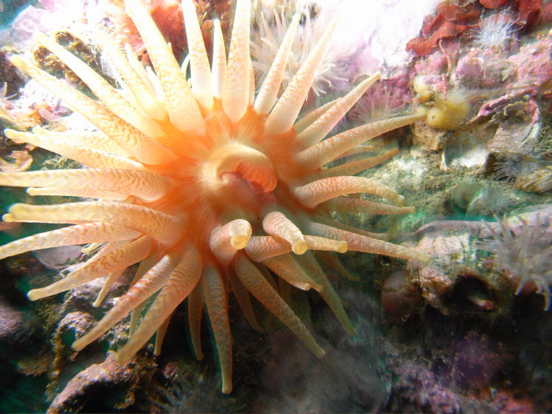
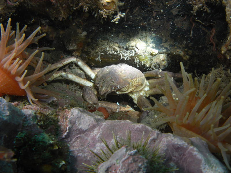
Everywhere one can find sea anemone (even below kelp). Crabs and snails cover the ground. In Tauchprojekt one can find much useful information on the fauna of the sea of North Europe.
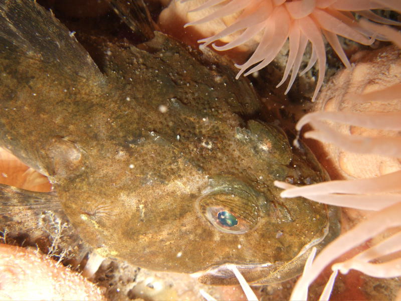
Only occasionally does one encounter larger fish.
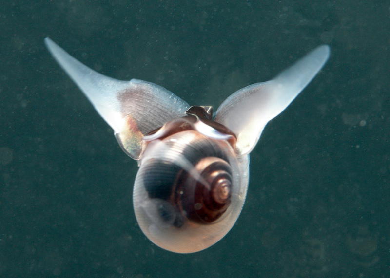
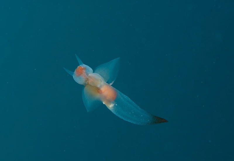
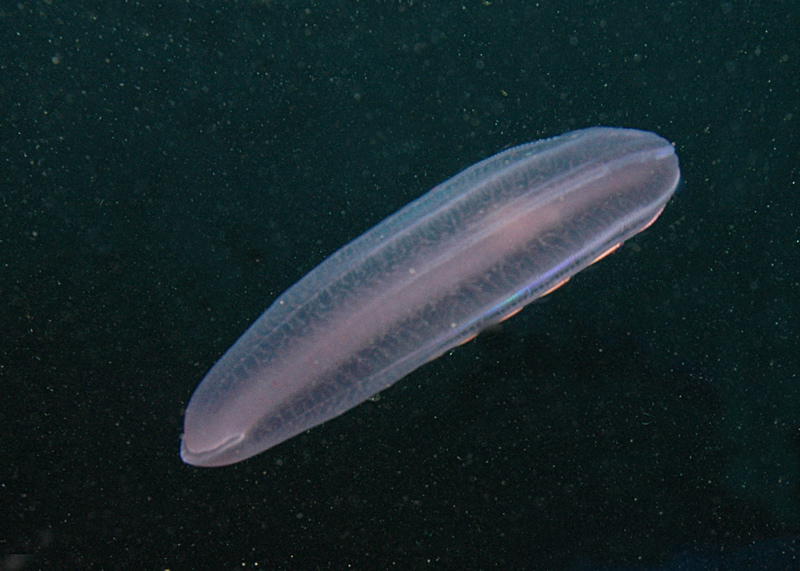
Plankton in all kinds of forms floats in the water.
The water is very cold with often only 0 degrees Celcius. Even with a dry suit it is getting very cold latest after 40 minutes at the tips of the finger. And for that reason, people are very euphoric while driving back to the ship with the zodiac.
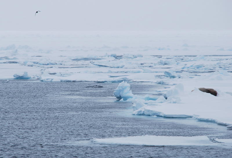
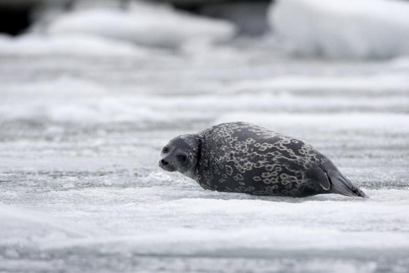
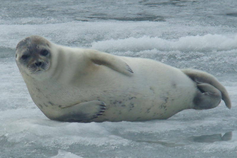
Ringed seals feel very happy on the ice. These seals form the main food for polar bears. For that reason, they are usually very shy. But apparently, some still like to be photographed.
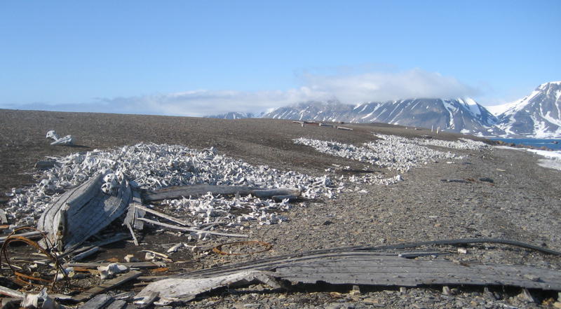
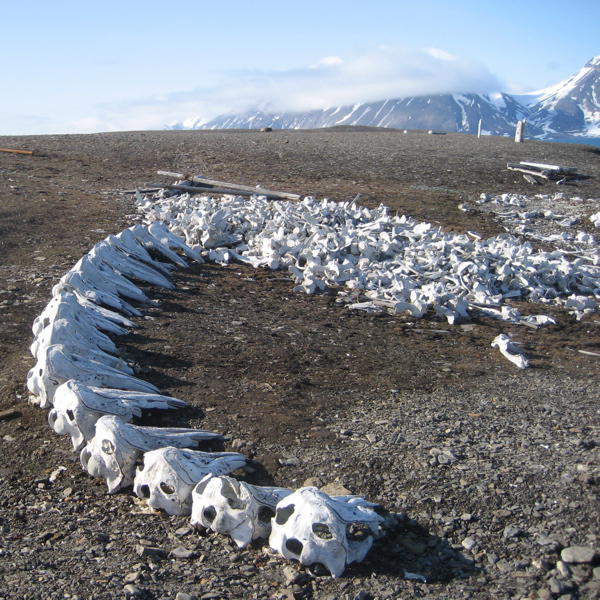
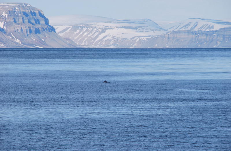
Once upon a time, many whales roamed the sea around Svalbard. Over centuries these were systematically slaughtered. And the sorry remains of these slaughters can still be seen today.
Nevertheless, we were able to see whales on occasions.
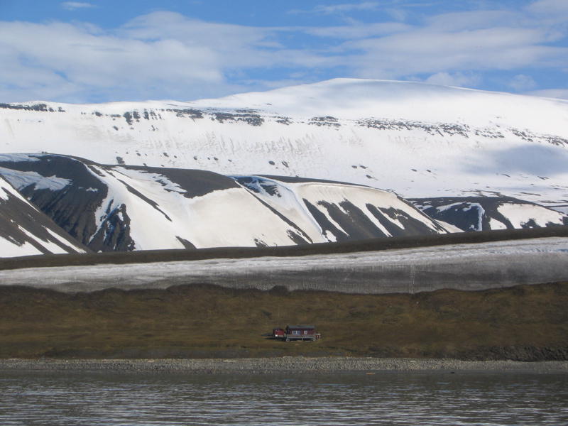
Ever so often one comes across old trapper huts, that are frequently still in use today.
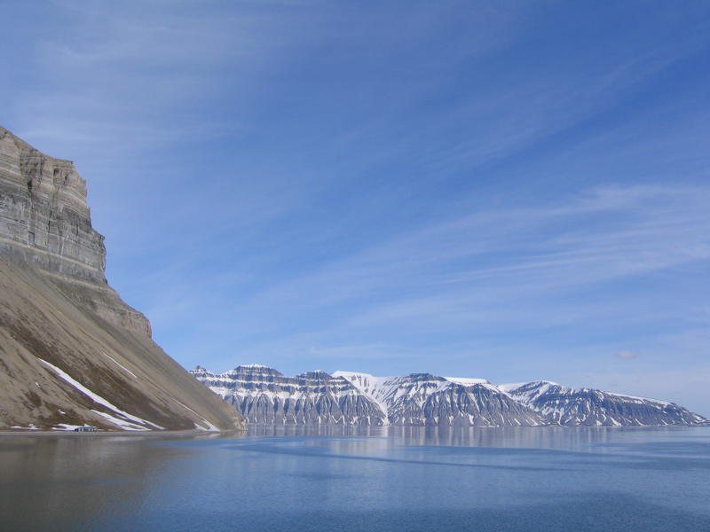
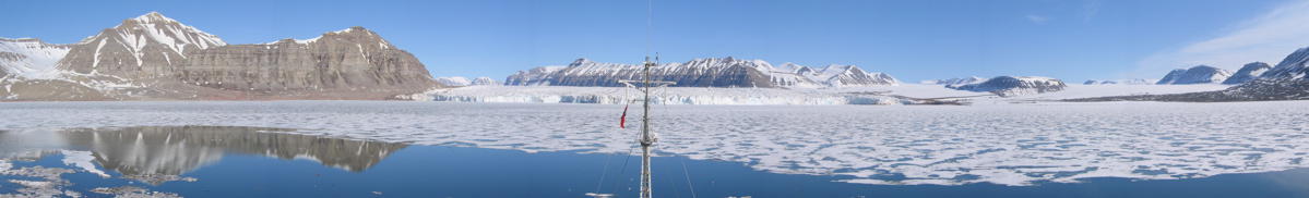
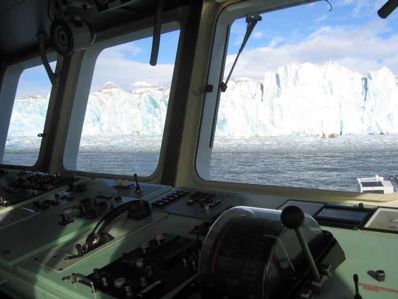
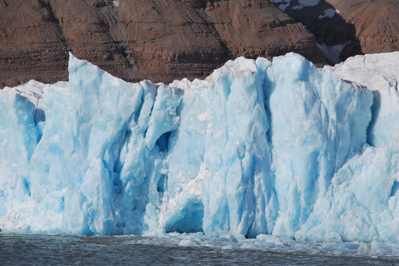
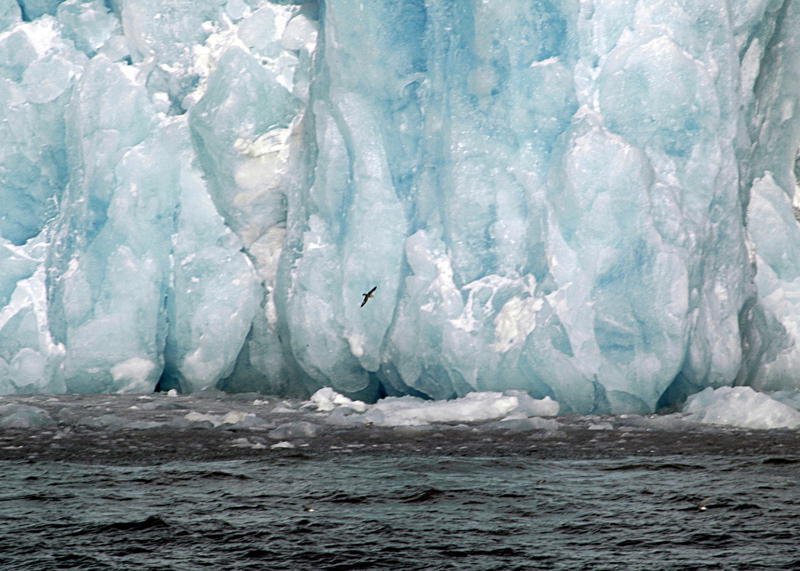
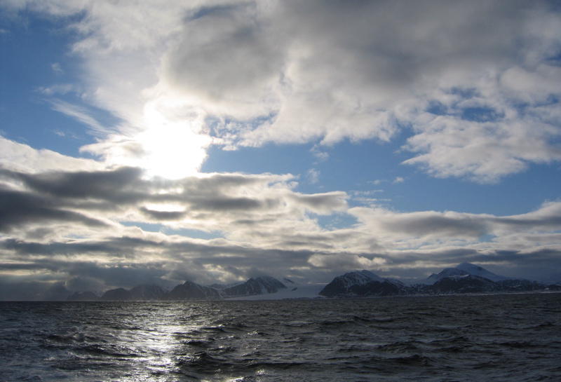
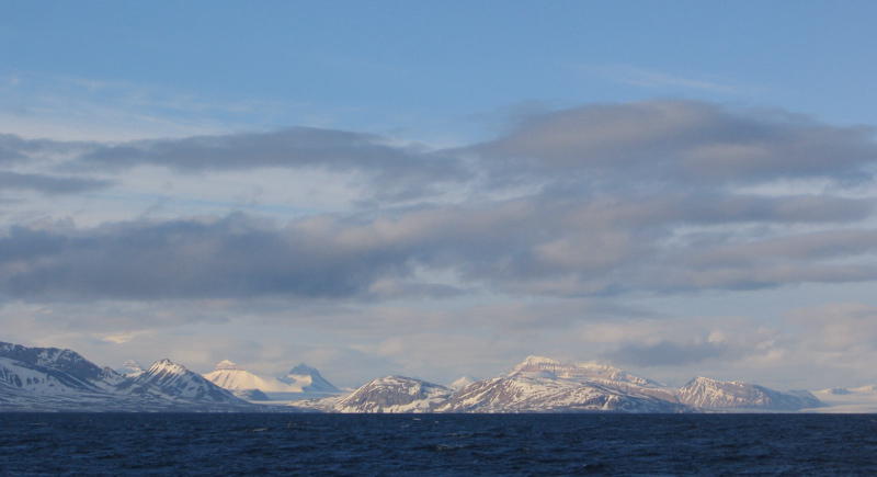
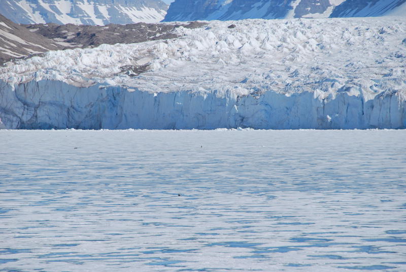
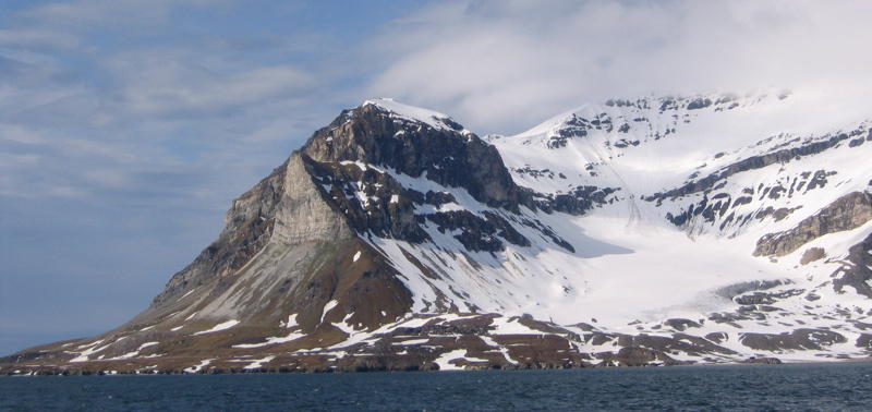
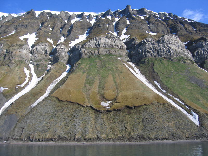
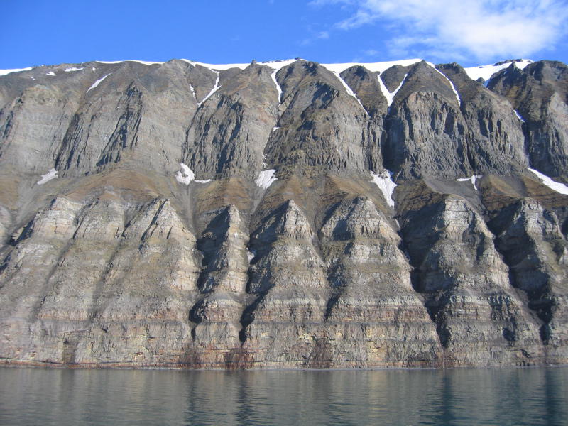
But it's glaciers that form the landscape of Svalbard most of all. Sometimes we saw them from close-by.
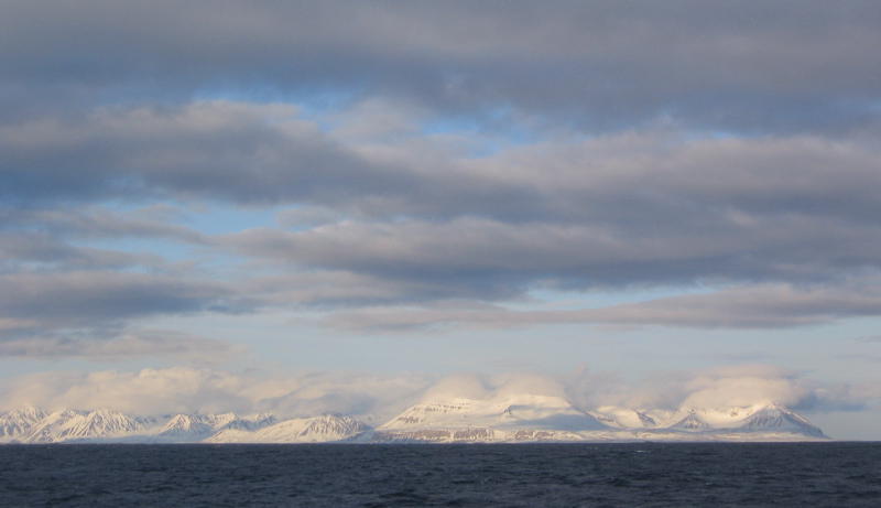
... And sometimes we saw them fro the distance, for example in the light of the midnight sun.
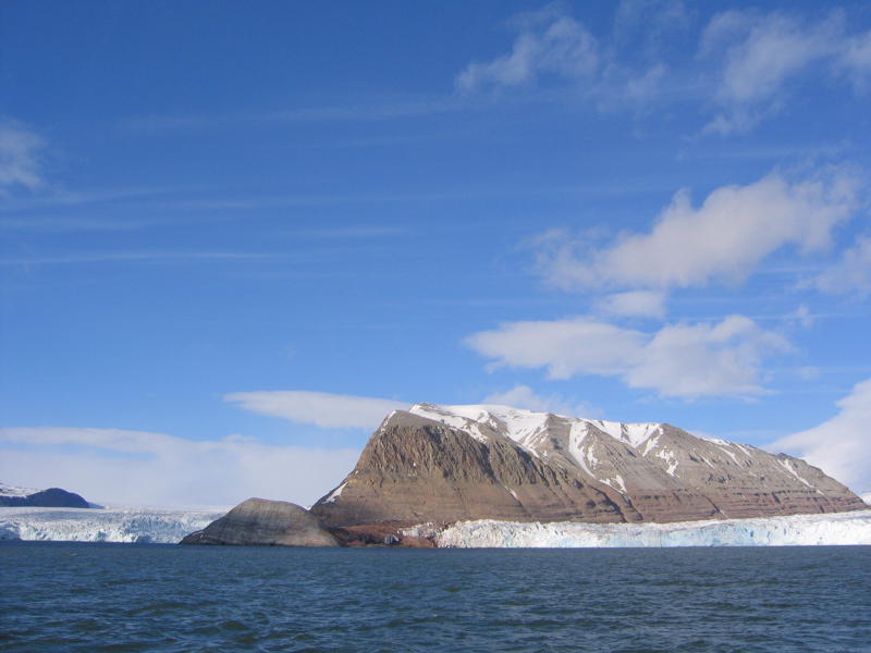
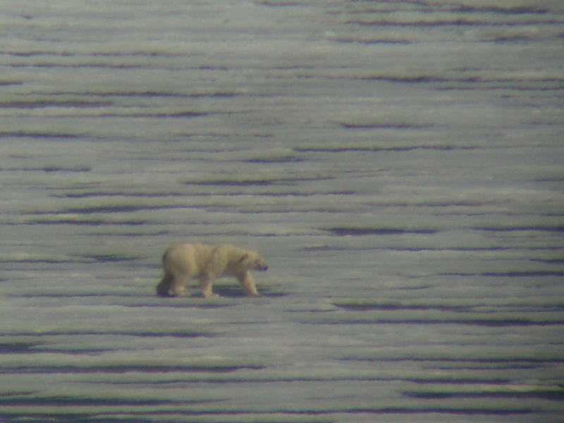
At the place where a glacier flows into the sea, areas of ice-floats may form in front, perfect for seals to rest on. And where there are seals, there are polar bears. Thus, we also got to see polar bears (from a safe distance) near the end of our trip.
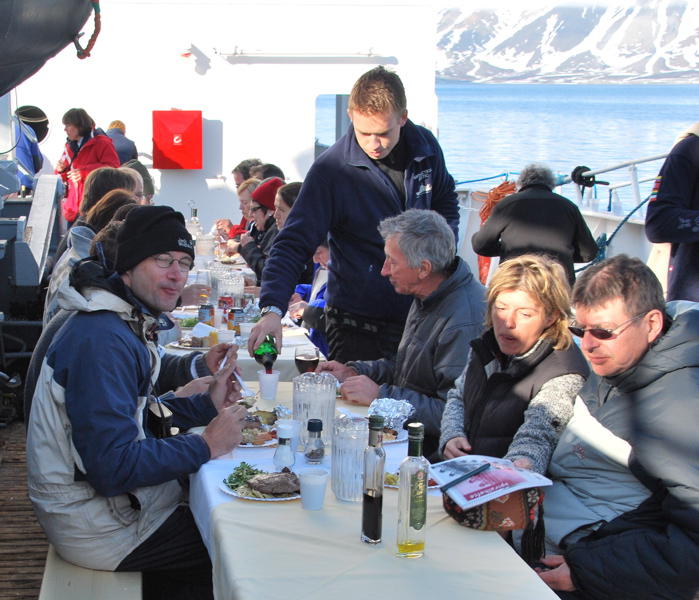
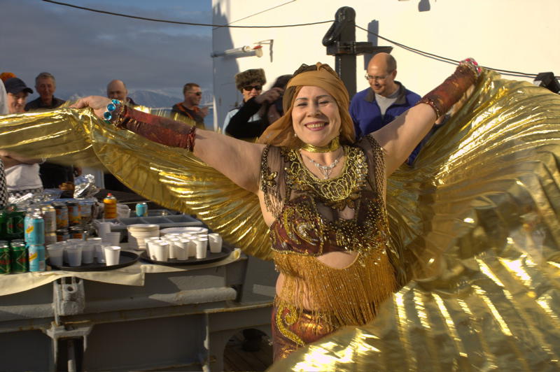
Towards the end of our trip on board the ship a large party was celebrated. For that purpose, the captain anchored the ship in a protected bay under a perfect, blue sky. But it was cold nevertheless, even if one would not believe it when looking at some of the costumes that some of the crew wore as part of the show.
From Svalbard it is only 1000 km to the North Pole. And thus it is not surprising that Svalbard was base for many polar expeditions. Especially the town of Ny-Alesund was used by many expeditions as a base. For example, for the controversial airship expedition to the North Pole by Norge and Amundsen.
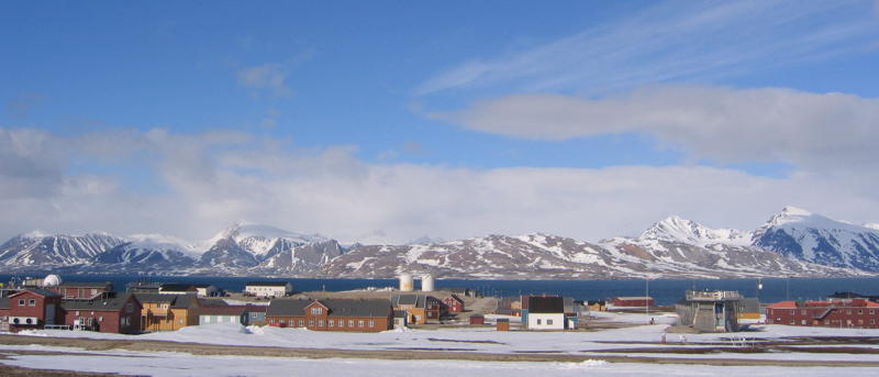
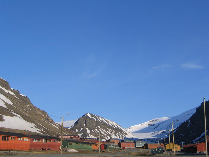
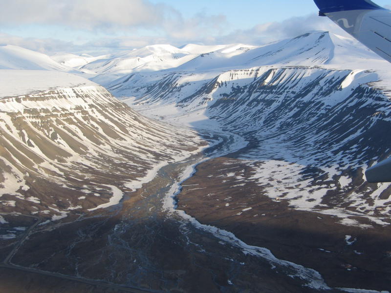
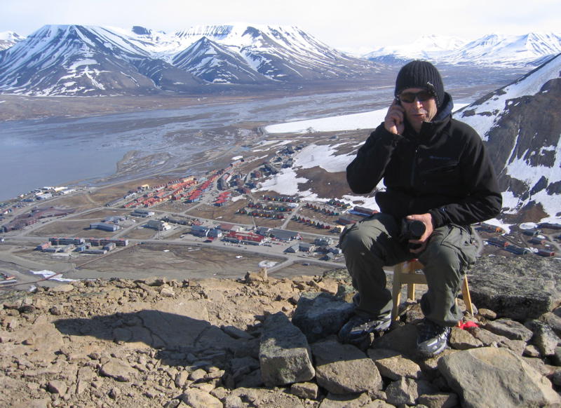
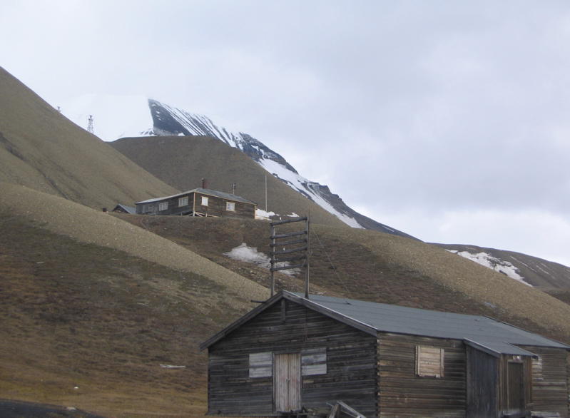
The "capital" of Svalbard is Longyearbyen. Because of tourism, but also thanks to the university did the town grow a lot during the last decade. Now about 3000 people live there.
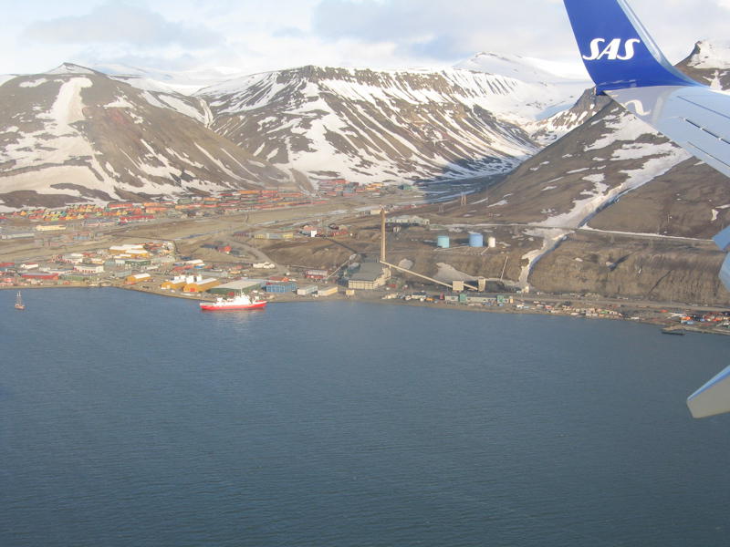

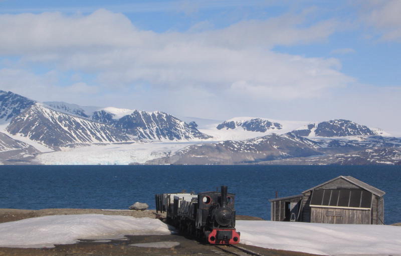
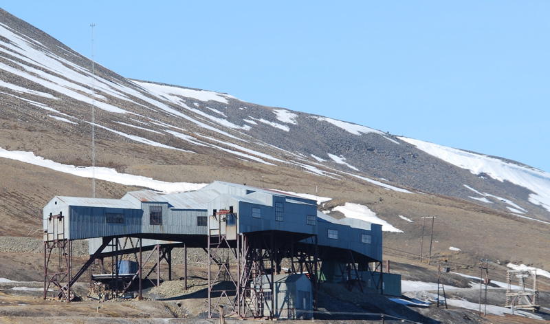
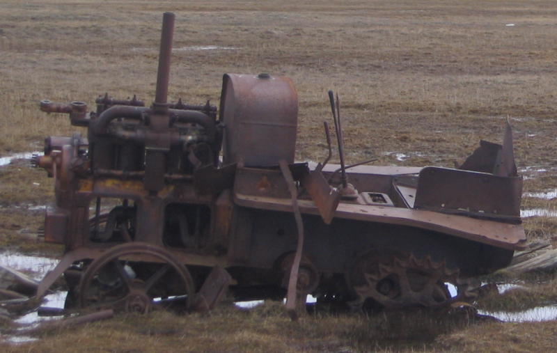
It was in Longyearbyen that an American named Longyear opened the first coal mine of Svalbard, and this gave the village its name. Remains of the mining can be seen everywhere in the town. However, nowadays all mines near Longyearbyen except one are closed. And the still active mine only produces enough coal for the town itself.
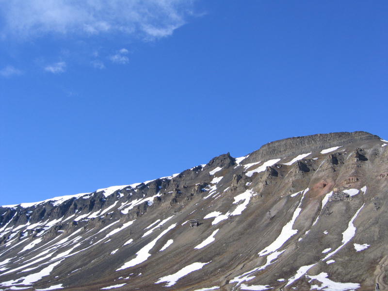
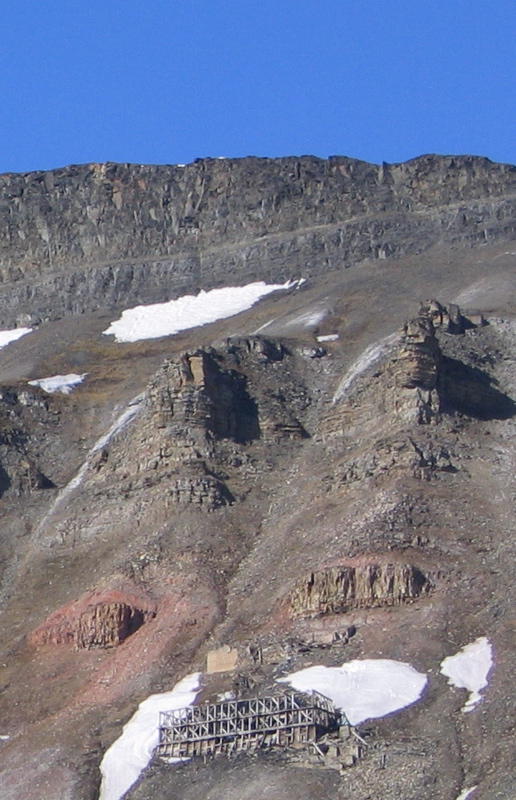
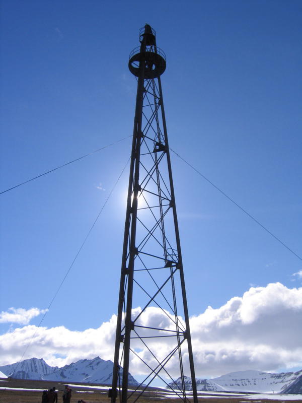
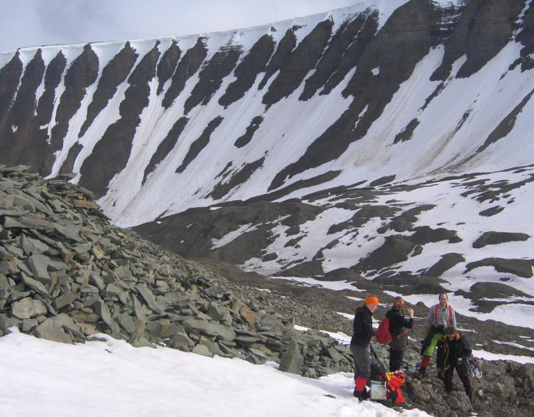
The town lies in the "Adventsfjord" and is locked in on two sides by table mountains. Hiking up provides a nice picture of the town.
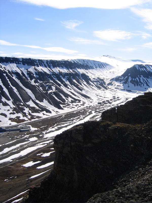
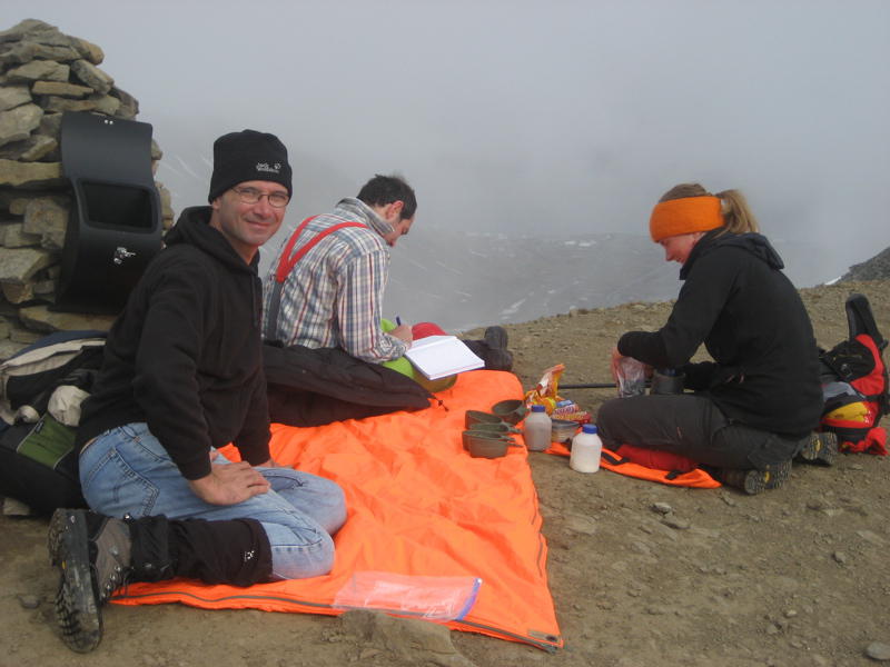
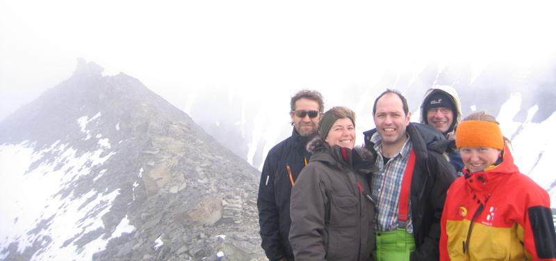
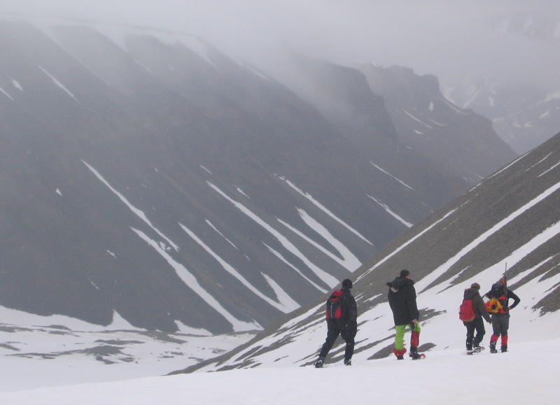
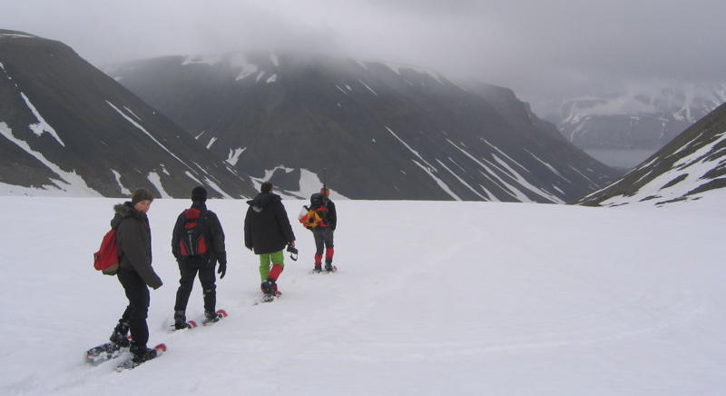
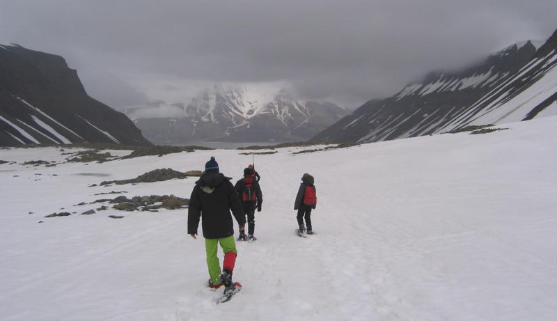
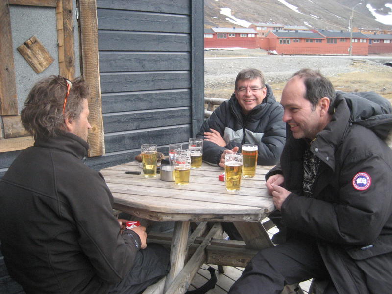
But not only such a short hike is worthwhile. At the end of the valley are two glaciers separated by the so-called Sarcophagus. A full-day hike up one glacier and down the Longyearbyen glacier with a lunch break on the Sarcophagus was a great experience. And the beer in the evening tasted especially good.

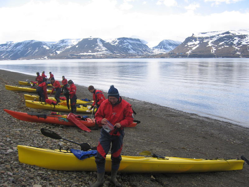
Also worthwhile was the kayak tour to the shore opposite Longyearbyen in the Adventsfjord. Everything was well organized with a comfortable picnic place already prepared.
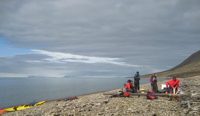
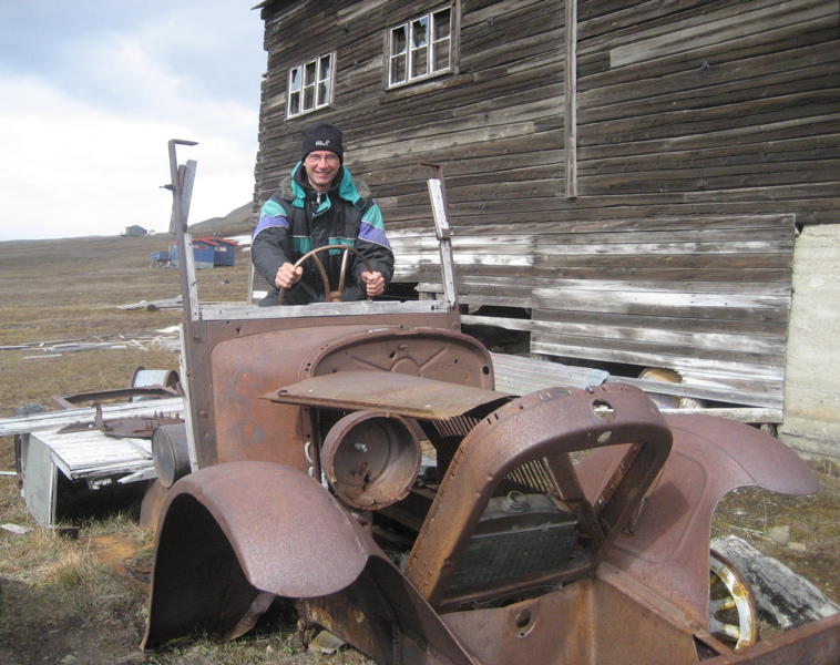
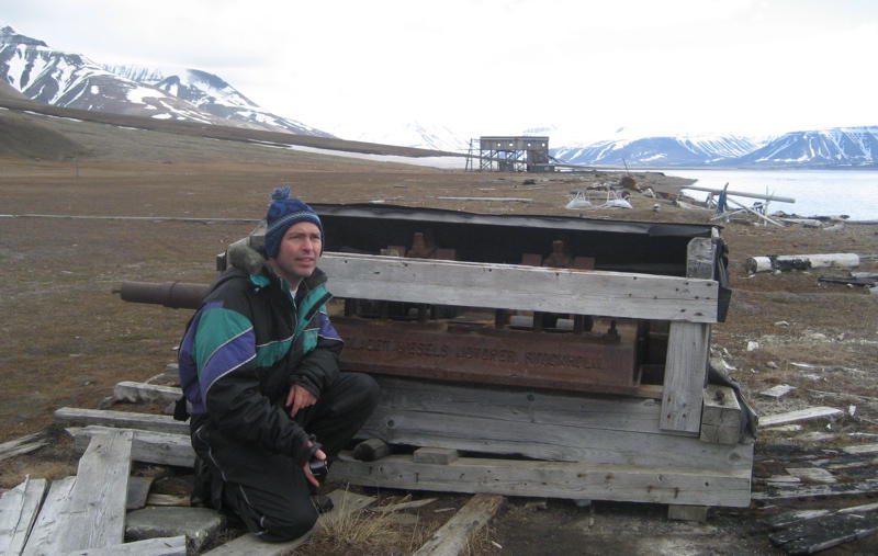
There as well one can find an abandoned mine. And when it went bankrupt (like so many others as well), everything had to be left behind.
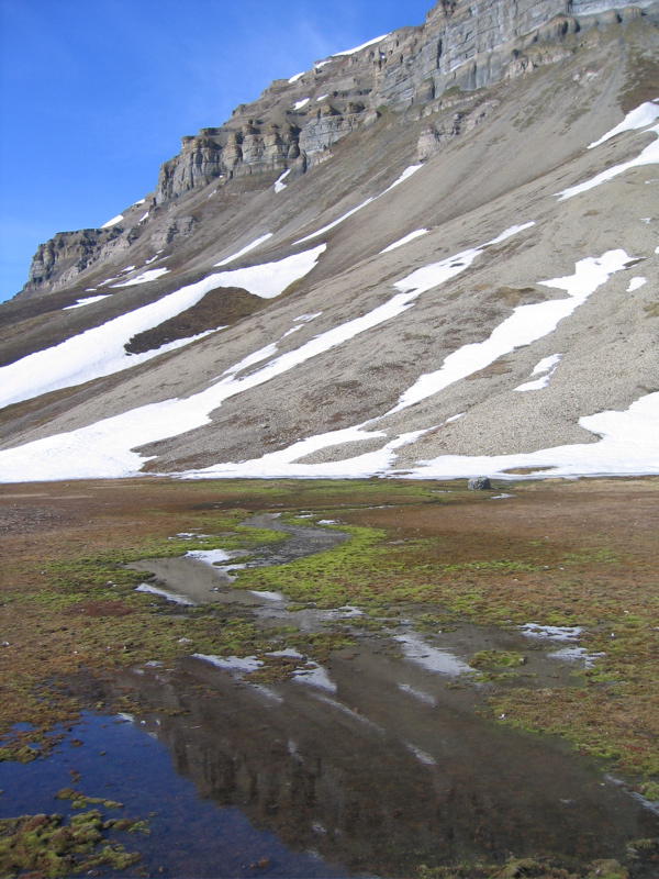
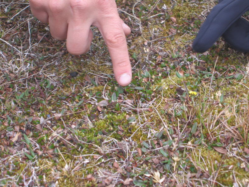
Finally, the experienced guide explained us a lot about the flora of Svalbard. And thanks to him we became finally aware of the trees of Svalbard: The Arctic willow.
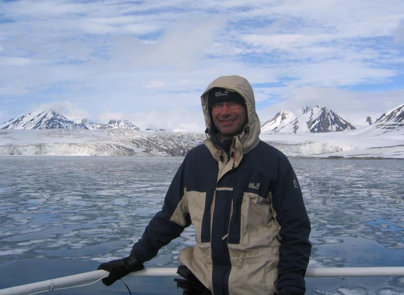
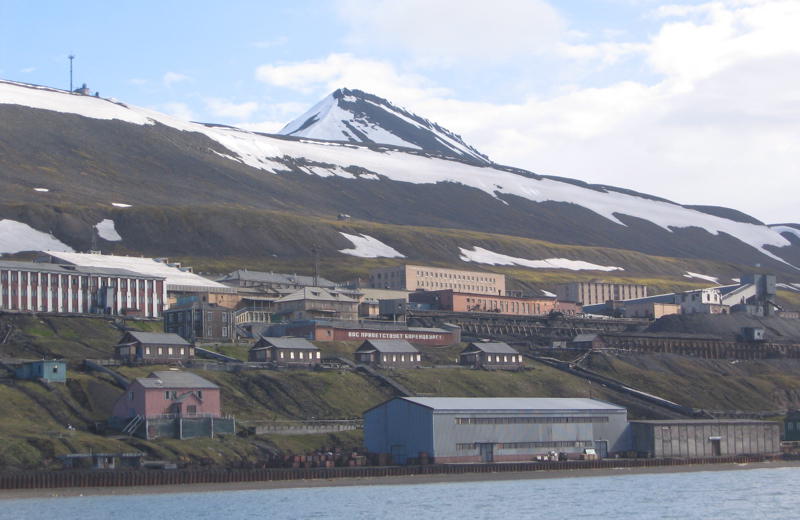
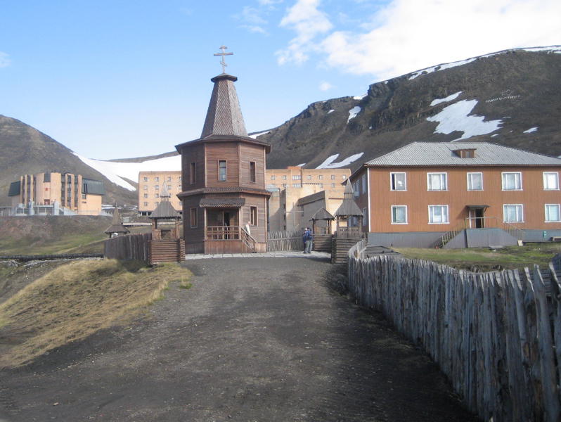
Furthermore, we had enough time left for a day-trip to the Russian settlement of Barentsburg. But before we reached Barentsburg, we passed by some glaciers.
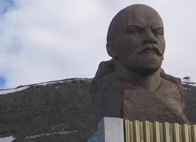
At the time of our visit only a few people lived in Barentsburg. The reason was a fire in the mine that same spring. In order to extinguish this fire, sea water had to be pumped into the mine. And at the time it was still uncertain whether the mine would be reopened at all. Thus, the city felt like a museum.
The trip back from Barentsburg to Longyearbyen passed along beautiful rocks.
And after one last, short "night" with the midnight sun we had to leave Svalbard.